555-555-5555

Drone Roof Inspections

Some roofs are simply too big or too awkward to survey on foot in a reasonable day. A distribution building with a very wide field, a campus building with several stepped levels or a roof reached only by a long interior climb can all be imaged from the air in a fraction of the time, with every area covered the same way. For an asset manager comparing a number of buildings in San Marcos, TX, that consistency is the point: the same flight pattern, the same image scale and the same labeling on every roof.

A drone survey gives an owner a map of the roof's condition. It does not replace the walk, and we say where it stops being enough.
Where a Drone Earns Its Place

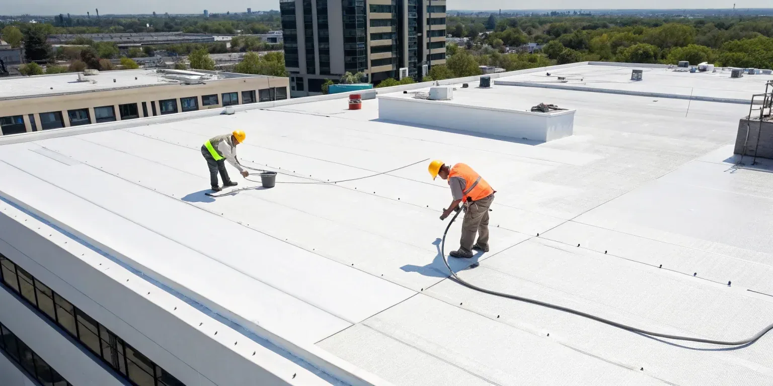
Drones help most on large low-slope fields, steep or fragile surfaces, roofs with unsafe access and buildings with many levels. The Amazon fulfillment center in San Marcos is 855,000 square feet and another Amazon building expected to exceed one million square feet was under construction on 70 acres off Fortuna Road, which shows the scale of building in the area. Floor area is not roof area, but buildings of that class are the kind where aerial imaging saves days.

Drones are also useful for before-and-after records, for pre-purchase screening of several buildings and for documenting the condition of roofs after hail, when the surface can be unsafe to walk.

A drone is less useful on a small, single-level roof that one person can walk in twenty minutes. There the walk is faster and tells us more, and we recommend it instead.

Drone Roof Inspections

Airspace Comes First

Before any flight we check the airspace around the building. San Marcos Regional Airport is about four nautical miles east of downtown and has three runways, and airspace rules around airports can limit or require authorization for drone operations nearby. We confirm permissions where required, file the necessary authorizations and notify the facility manager of flight windows. Operations also have to respect people and vehicles below, so we plan flight lines away from busy entries and crowds.

If a building sits inside restricted airspace or the weather is unfit, we reschedule or switch to a walk, and we do not fly outside the rules to meet a date.

What the Camera Captures

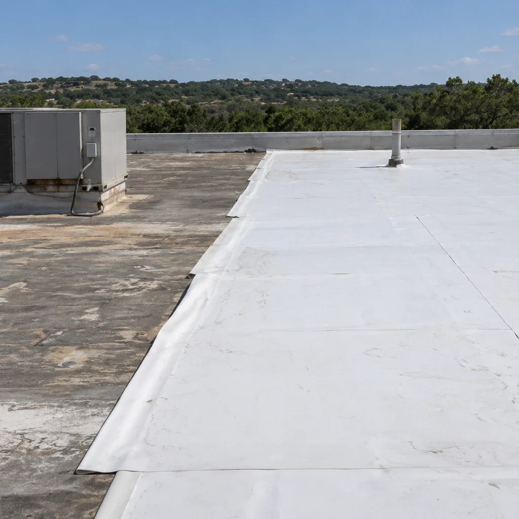
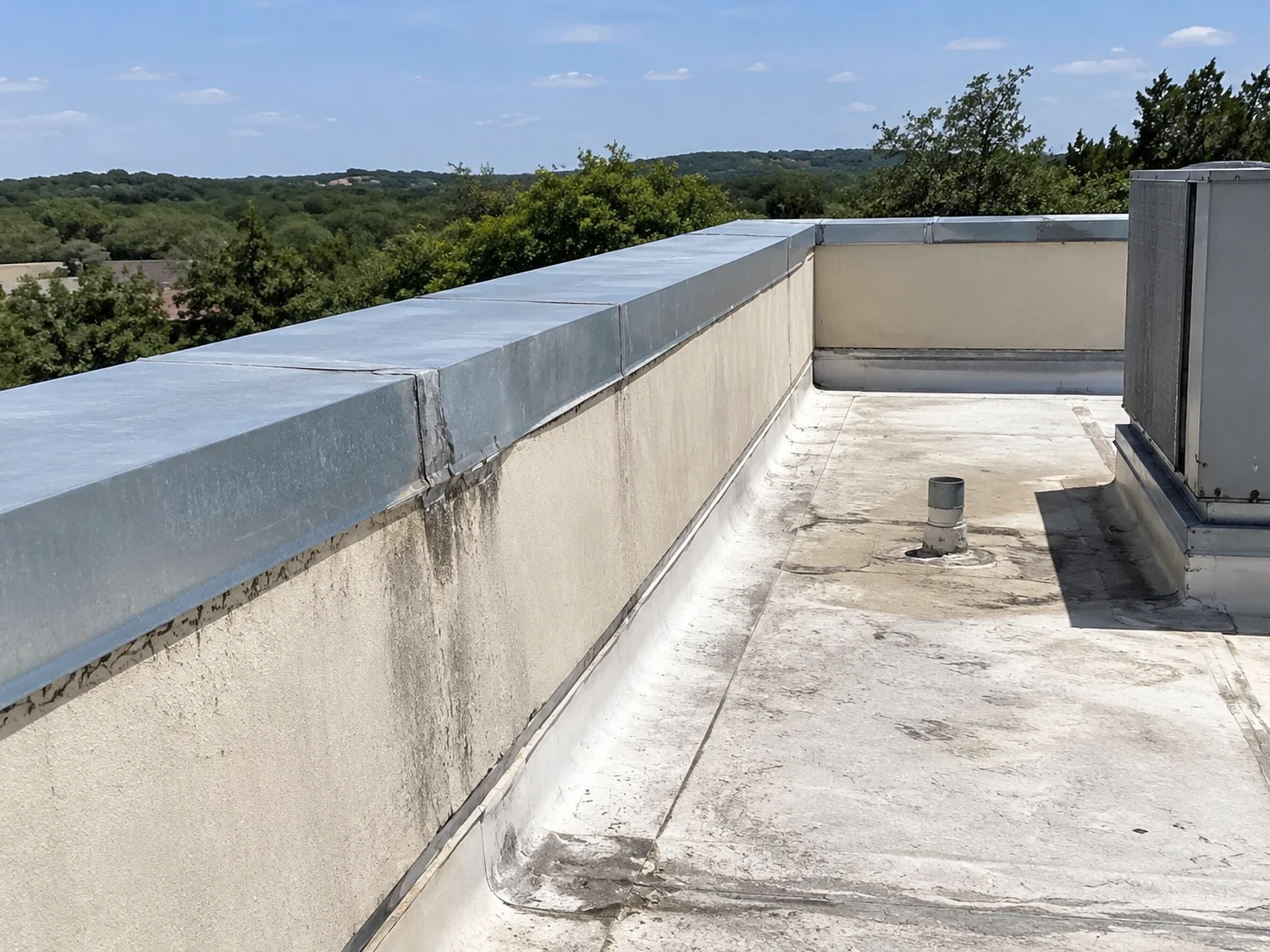
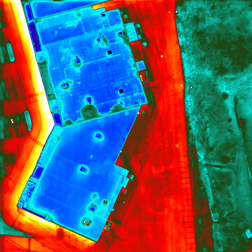
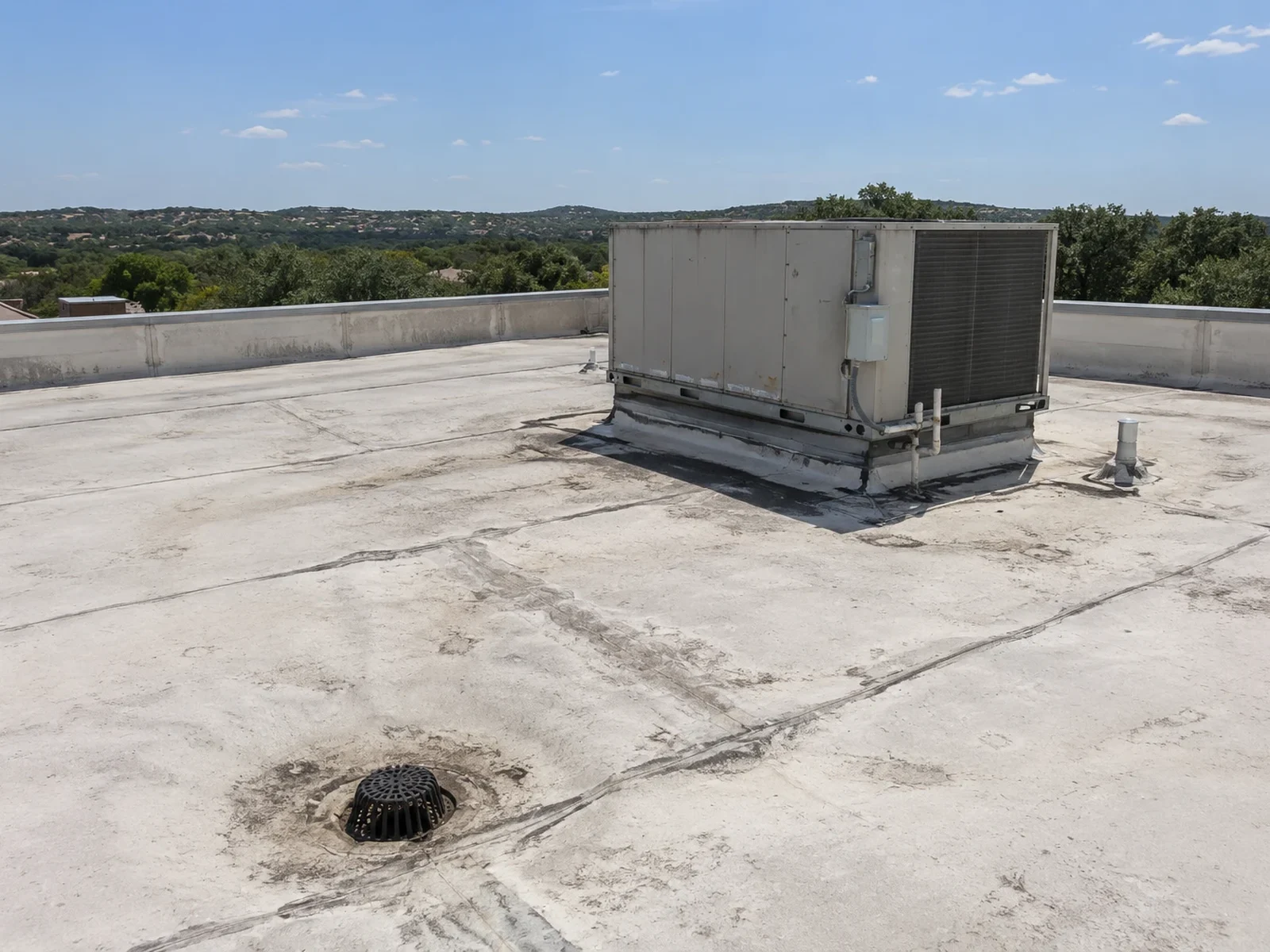
A survey flight collects overlapping high-resolution images of the full roof, along with close images of defects, penetrations and edges. From those we build an orthomosaic or a labeled photo set that shows the layout of the roof and the location of each finding. Oblique views reveal parapet and wall conditions that are hard to see from above, and thermal imaging, when used, highlights temperature differences that may point to moisture.

Thermal data is only a lead. We confirm any suspected wet area with an infrared and core-cut survey, since surface temperature depends on sun, wind and roof color and not only on moisture.

What Images Cannot Show

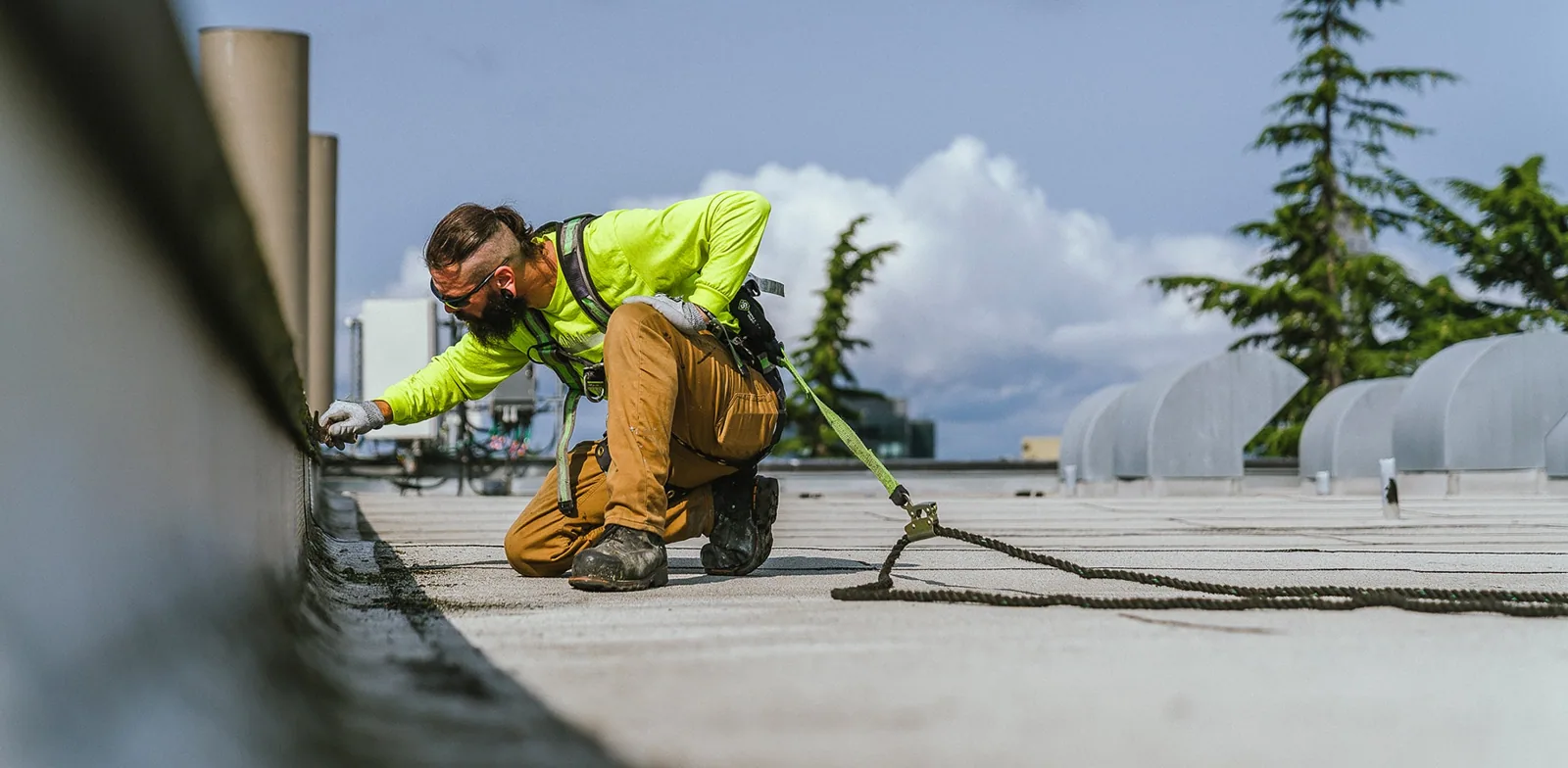
A drone cannot press on a seam, probe a flashing or feel a soft spot in the deck. It will not tell us whether a membrane still welds or whether insulation under a clean surface is crushed. Those questions need a person on the roof. For that reason we use the drone to plan the walk: the images direct us to the areas of concern, and the walk confirms and measures them.

We combine the two in a full inspection whenever the findings will drive a repair or replacement decision.

The most valuable output of a drone survey is often a shorter walk. When the images show that three of eight roof sections are clean, the crew can spend its time on the five that are not.

Drone Roof Inspections

Plan the Flight Around the Building

Good imagery depends on conditions. We fly in dry weather, with light winds and sun angles that avoid glare on white membranes and long shadows from parapets. Midday sun can wash out detail on a reflective surface, and early or late light can hide ponding, so the time of day is chosen for each roof. We also schedule around the building's operations, keeping flight lines clear of loading areas, entries and rooftop work.

Roof color, surface debris and standing water all change what the camera sees, so we note them on the survey sheet. A roof that was recently cleaned images differently from one covered in dust and leaves, and the notes let the next survey compare like with like.

For owners new to aerial surveys, the first flight is often a pilot on one or two buildings. It shows what the images look like, how findings are labeled and how the data fits into the existing maintenance process before the program expands to the full portfolio.

Drone Roof Inspections

After Hail and Wind

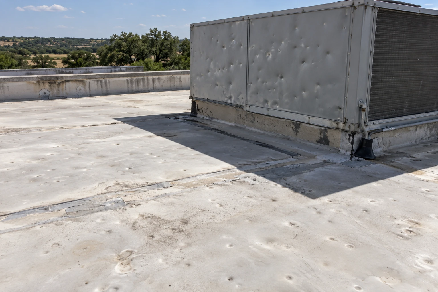
Storm response is where drones save the most time. After the May 9, 2024 storm, with hail reported up to six inches across in Johnson City and trees down across northwest San Marcos, the first question for a multi-building owner is which roofs need a closer look. An owner with several buildings can have each one imaged within a day or two and see at once which roofs show bruising, displaced metal or ponded water.

The images support hail damage documentation and help the owner decide where to send walking crews first. They also give the owner a dated record of the roof before repairs begin.

What You Receive

The deliverable is a labeled image set organized by roof section, a map of findings and a short written summary of the areas that need follow-up. For a portfolio, we format every building the same way, so a director can scan across properties along the I-35 corridor, from the San Marcos outlet retail east of the highway to the logistics buildings in the Kyle logistics corridor, and spot patterns.

Images are stored with dates and locations, which lets the next survey compare against the last one. Over a few cycles that comparison shows which defects are growing, which repairs have held and which roofs are aging faster than planned.

For owners running a multi-site roof program, the image sets feed directly into the condition reports that rank buildings for repair and replacement, including those in the San Marcos I-35 business park corridor.

Commercial Roofing Questions

Can a drone replace a walking inspection?

Not for a repair or replacement decision. It maps the roof and finds visible defects, while a walk tests seams, flashings and soft spots. We use the drone to direct the walk and cover areas that are unsafe to enter.

Are drone flights allowed near the airport?

In some areas they need authorization, because San Marcos Regional Airport lies about four nautical miles east of downtown. We check the airspace for each building and obtain permissions before a flight.

Can thermal imaging find wet insulation by itself?

It can suggest it, but surface temperature also reflects sun and wind. A thermal flight points to areas worth checking, and a moisture survey with core samples confirms whether water is present.

How soon after a storm can you image a roof?

Usually within a day or two, when weather and airspace allow. Imaging soon after the event keeps storm damage separate from later wear and gives the owner a dated record.

What do I receive when the flight is done?

A labeled image set by roof section, a map of findings and a short summary of what needs follow-up. Portfolio owners get the same format on every building so they can compare roofs side by side. Images stay on file with their dates, so the next flight can be compared against them.

Send the Building List

Share the addresses and what you need to learn, and we will check airspace, choose flight dates and tell you which roofs also need a walk.

Request a Roof Assessment

Related Roofing Work

ServicesRoof SystemsIndustriesProperty TypesService AreasRoof Damage RepairCapabilitiesManufacturersAboutContactRequest a Roof Assessment555-555-5555
Call555-555-5555